Bien patrimonial municipal
Bielby Residence
Loon Lake, Saskatchewan
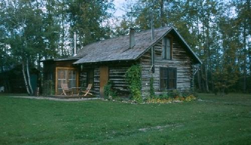
Photo: Government of Saskatchewan, Frank Korvemaker, 1988
- Construction
- 1934
- Reconnaissance
- 1986
- Par
- Administrations locales (Sask.)
Le texte du répertoire, mot pour mot
Description
The Bielby Residence is a Municipal Heritage Property located on one hectare of land near the Town of Loon Lake in northern Saskatchewan. The property features a one-room log house with a lean-to and loft, built in 1934, and a landscaped green space around the building.
Valeur patrimoniale
The heritage value of the Bielby Residence resides in its association with the early settlement of this northern community and speaks to the local significance of the log homes that were constructed in the region. Similarly, it stands as a reminder of the homesteaders who settled the area during the late 1920s and early 1930s when poor crops and drought forced many farm families to abandon their southern farms and seek out better land in more northerly areas.
Heritage value also lies in the building's log construction. Because of immediate timber resources and ease of construction, log cabins were the most common type of residence in this region and by the early 1930s, a log home stood on virtually every quarter-section. As the region prospered, however, and families built new wood-frame homes, the log structures were eventually abandoned. The Bielby Residence, with its log construction, mud chinking, and location on one hectare of land, is an excellent example of the region's popular dwellings and it is one of the few remaining log structures of the area.
Source:
Rural Municipality of Loon Lake No. 561 Bylaw No. 33/86.
Éléments caractéristiques
The heritage value of the Bielby Residence resides in the following character-defining elements:
-those elements relating to its log construction, such as the saddle-notched, partially squared logs and mud chinking;
-those features that speak to its existence as a rural home in a northern, forest location, such as its siting within a simply-landscaped clearing and its sheltering belt of trees.
Fin du texte du répertoire
Emplacement
54.15018° N, 108.92223° W
Itinéraire (s’ouvre dans un nouvel onglet)L’inscription au répertoire ne rend pas un lieu accessible au public. Beaucoup sont des résidences ou des commerces privés; admirez-les depuis la rue.

Chargement de la carte…
À proximité
Lieux semblables
Les lieux dont la description du répertoire se rapproche le plus de celle-ci.
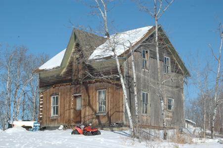 Backwoods Beds and BerriesShellbrook RM 493, Saskatchewan
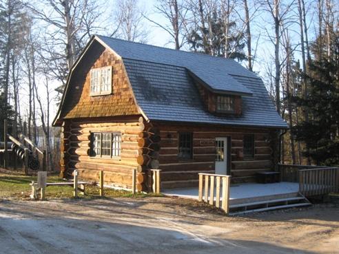 Kinasao Lutheran Bible Camp Log HouseLakeland RM 521, Saskatchewan
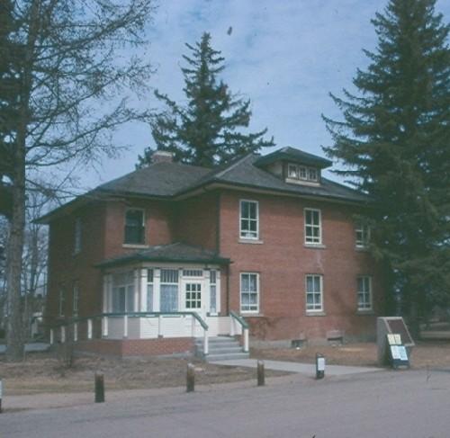 Forestry Farm Superintendent's ResidenceSaskatoon, Saskatchewan
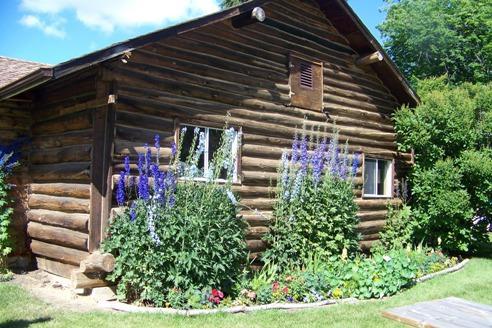 Honeywood NurseryLeask RM 464, Saskatchewan
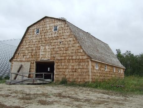 Swanson BarnWillowdale RM 153, Saskatchewan
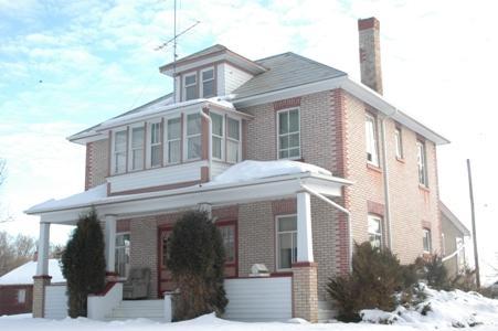 Maria DeGirolamo's ResidenceBlaine Lake RM 434, Saskatchewan
Tiré du Répertoire canadien des lieux patrimoniaux, dans sa dernière mise à jour du 12 décembre 2025. Le texte du répertoire est reproduit mot pour mot.