National Historic Site of Canada
Dredge No. 4 National Historic Site of Canada
Bonanza Creek, Yukon
Also known as Dredge No. 4, Drague Numéro Quatre
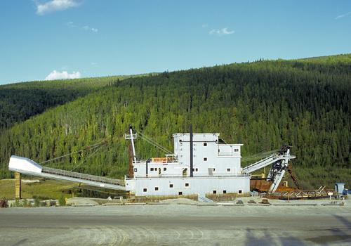
General view of Dredge No. 4 showing its setting in the field of dredging activity near Bonanza Creek, 1996.
Photo: Parks Canada Agency / Agence Parcs Canada, J Butterill, 1996.
- Built
- 1912–1913
- Recognized
- 1997
- By
- Government of Canada
The register’s text, word for word
Description
Dredge No. 4 is a preserved bucketline sluice dredge used to mine placer gold. Located at its last place of operation on Bonanza Creek in the Klondike goldfields just outside of Dawson City, Yukon, it is now preserved and operated as a historic site.
Heritage value
Dredge No. 4 was declared a National Historic Site of Canada as symbolic of:
- the importance of dredging operations in the Yukon (1899-1966), and
- aspects of the evolution of gold mining in the Klondike from early labour-intensive to later corporate industrial phases of gold extraction.
Dredge No. 4 was constructed in 1912-13 by the Canadian Klondike Mining Co. to mine the gravels of the Klondike River Valley. It was dismantled when paying gravels ran out in 1940. All of its major mechanical components were refurbished by the Yukon Consolidated Gold Corporation and encased in a new wooden hull and superstructure built on Bonanza Creek. From September 1941 to the fall of 1958 it mined Bonanza Creek. There, it sank on its present site in 1959. It has since been preserved as a National Historic Site.
The heritage value of Dredge No. 4 lies in its association with Klondike gold mining and in its illustration of the process of bucketline sluice dredging used by corporations to mine placer gold in the Klondike Gold Fields in the 1899-1966 period.
SourceHistoric Sites and Monuments Board of Canada, Minutes November 1987, June 1997; Commemorative Integrity Statement, August 1999.
Character‑defining elements
Key elements which contribute to the heritage value of this site include:
- the completeness of the vessel including its hull, superstructure, gold processing facilities and ancillary equipment;
- the systems associated with the vessel’s structure and function as mining equipment;
- its functional design and disposition of space;
- its materials such as the wooden hull and metal equipment;
- those structural components developed specifically for use in northern dredging, including hardened bucket lips, heating systems (steam boilers and electric heaters) and double walls,
- its shore deadmen and related cable system,
- its setting in the field of dredging activity near Bonanza Creek,
- its viewplanes to gold field tailings and to Bonanza Creek,
- its linkage to other sites and landscape features related to corporate mining – the Bear Creek camp site, the power plant, other dredge sites, roads, power and telephone line systems.
End of the register’s text
Location
Lot 586, group 1052, Bonanza Creek, Yukon, Canada
63.94394° N, 139.33616° W
Get directions (opens in a new tab)Being on the register doesn’t make a place open to visitors. Many are private homes or businesses; please view them from the street.

Loading map…
Nearby
Similar places
Places whose register descriptions are closest to this one.
 S.S. Klondike National Historic Site of CanadaWhitehorse, Yukon
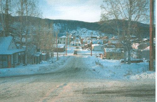 Dawson Historical Complex National Historic Site of CanadaDawson, Yukon
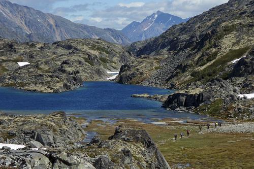 Chilkoot Trail National Historic Site of CanadaCassiar, British Columbia
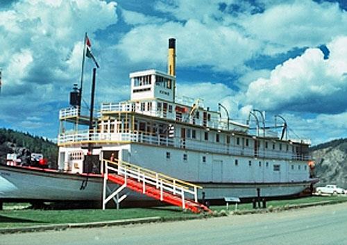 S.S. Keno National Historic Site of CanadaDawson, Yukon
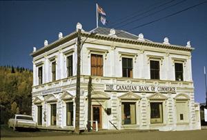 Canadian Bank of Commerce National Historic Site of CanadaDawson, Yukon
 Yukon Hotel National Historic Site of CanadaDawson, Yukon
From the Canadian Register of Historic Places, as last updated on December 12, 2025. The register’s text is shown word for word.